Reforest Iceland
Our experience
Our founder grew up planting trees at Mælifellsá in Skagafjörður. Land that was open and largely treeless is established woodland today, but it takes years before young trees are even visible from the air. Switch between the two areas and drag the slider to see the change.
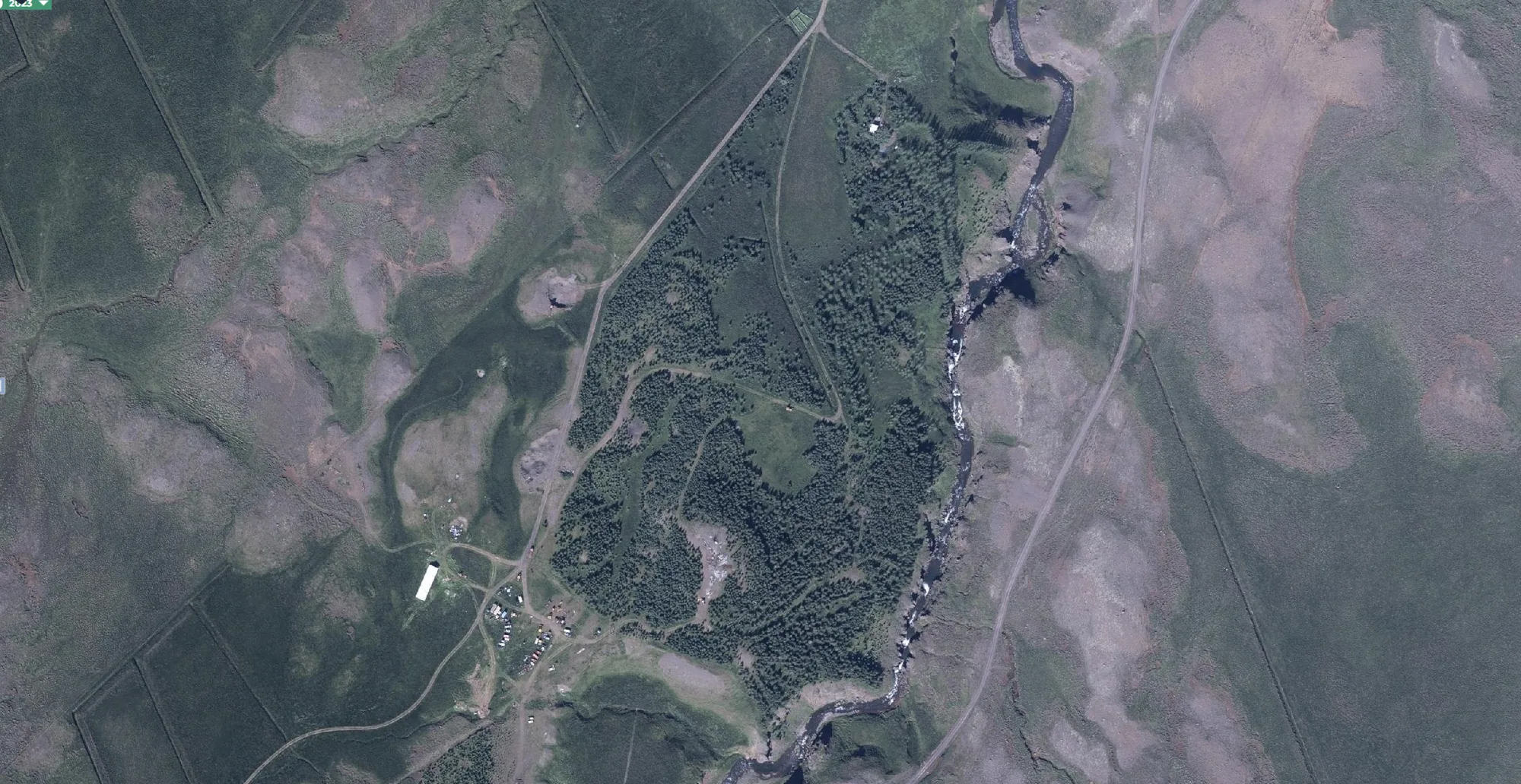
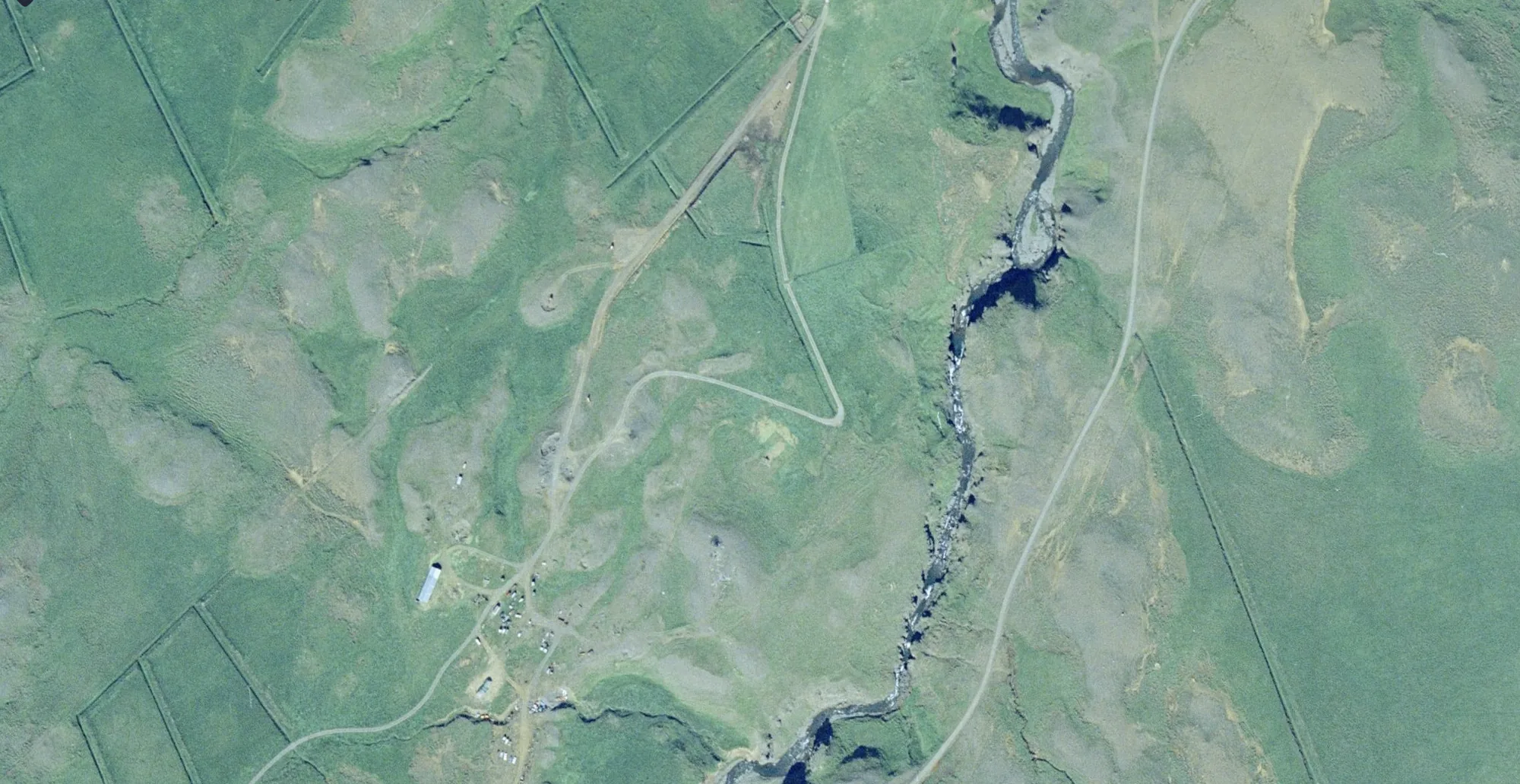
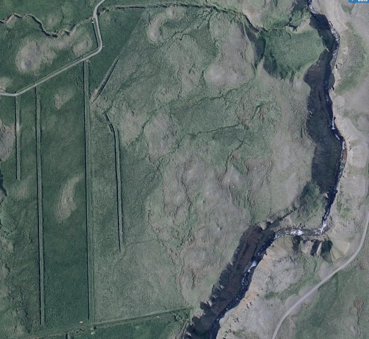
Mælifellsá, Skagafjörður – the oldest planted area. Aerial comparison, 2000 and 2023.
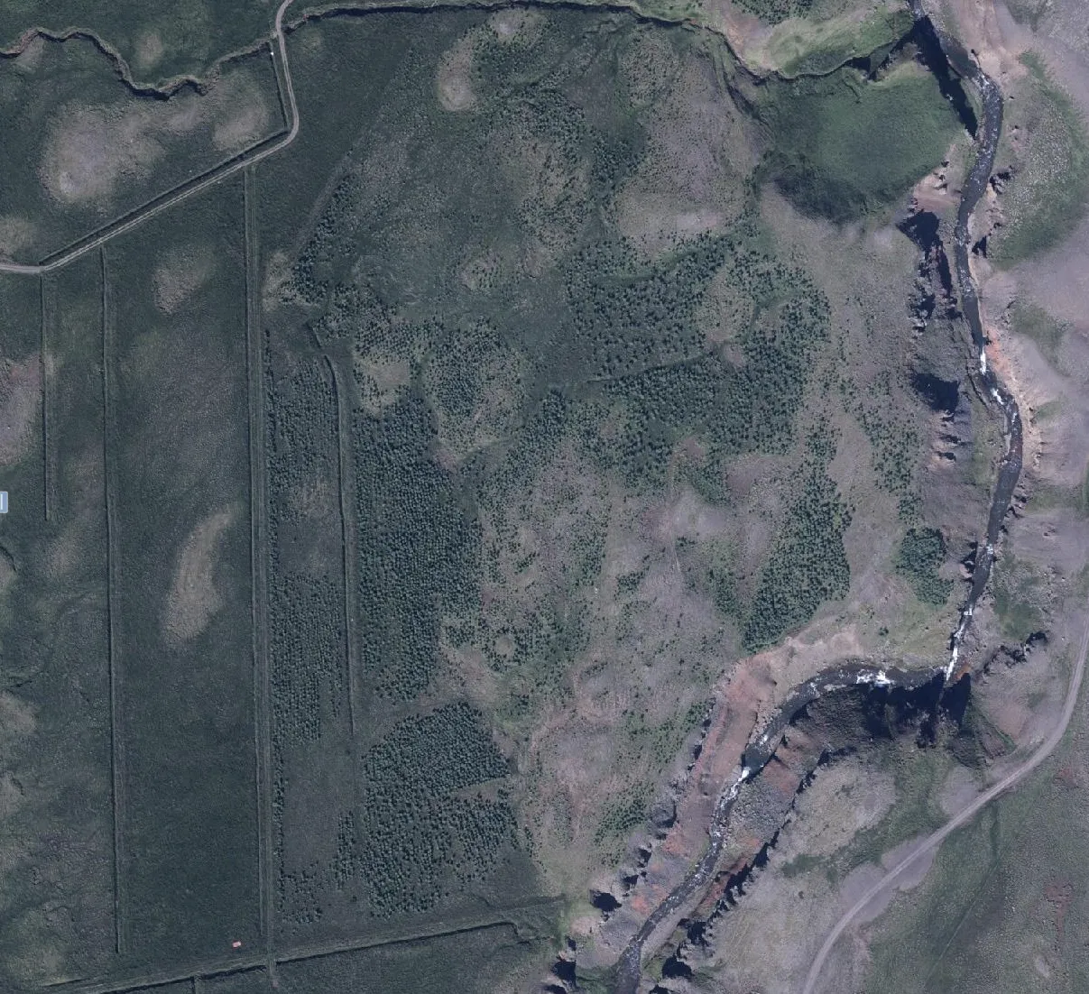
Mælifellsá – the first expansion, planted through 2008. In 2013 the young trees are barely visible; by 2023 they clearly stand out. Reforestation takes time.
Drone and GPS documentation
Every planting area is mapped and recorded from the air and on the ground.
Growth measured over decades
Photo series and tree-ring records show real, measurable growth, not projections.
Independent monitoring
Baseline and recurring surveys carried out by independent specialists.
On the ground
The aerial view shows the change over decades. Up close, the same journey plays out in three stages you can see for yourself on the land.
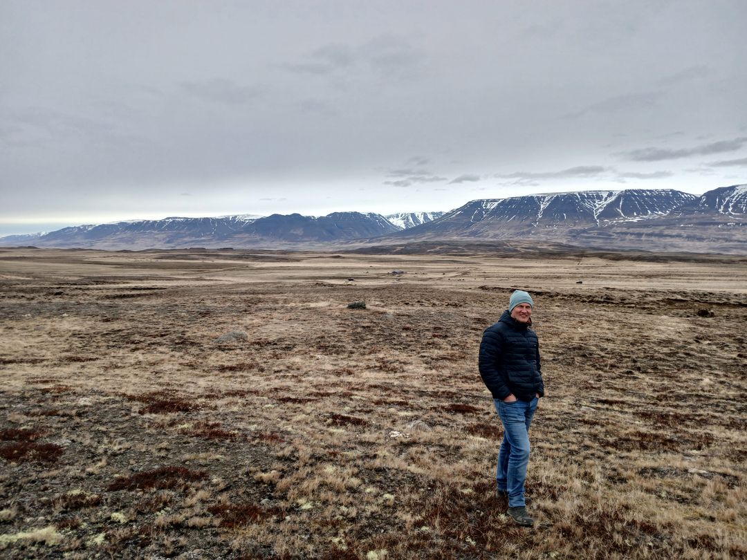 Before
Open former grazing land, thin soil and little shelter. This is where we begin.
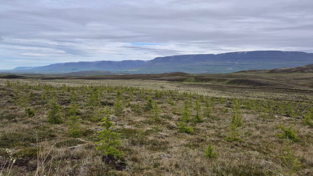 Taking root
Native birch and hardy conifers establish, holding the soil and giving shelter for more life.
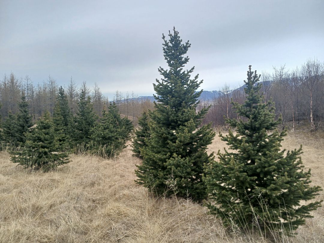 Established
Closed-canopy forest that stores carbon, builds soil and brings back birds and insects.