Plot log
Fagrabrekka: where our trees grow
Where we planted at Fagrabrekka, what we planted and when, and how the trees are doing. We update this page after every planting, every survival count and every drone or satellite round, and we publish the survival figures as they are, including the losses.
- Farm
- Fagrabrekka, Húnaþing vestra, north-west Iceland
- First planting
- 1 September 2026
- Trees planted to date
- 120
- Downy birch40
- Rowan40
- Larch40not native
- Plot area
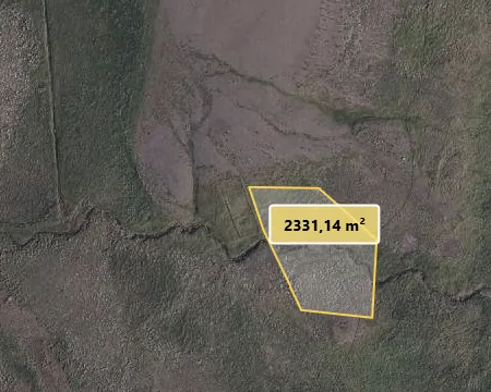
- About 0.23 ha (2,331 m²), approximate outline
- Latest survival
- Not counted yet – first count in May 2027
- Next planting window
- Mid-May to the end of June 2027
Last updated:
Map
Log
Newest first. Entries marked “Coming” are planned and will be filled in on the day.
-
Drone and satelliteComing
Drone and satellite round
We film the plot by drone and add a satellite image, so the first summer of growth can be compared with planting day.
-
PlantingComing
New planting
The next planting at Fagrabrekka, for the trees bought and given since the first planting. We will record it with a GPS tracker, so its outline can be downloaded below.
-
Survival countComing
First-winter survival count
Before the spring planting we check how the first 120 trees came through their first winter, and we mark about 20 trees whose height we will measure every year.
- Plan: Sample of 30–50% of the 120 trees, spread across the plot and all three species
-
Planting
First planting: 120 young trees
Our first trees at Fagrabrekka: 40 downy birch, 40 rowan and 40 larch, planted by our team on heathland beside a stream. Birch and rowan are native to Iceland; larch is not, and we planted it on the poorest ground. We paid for these trees ourselves.
- Planted: 40 downy birch, 40 rowan, 40 larch

The planting site beside the stream, filmed by drone on the evening of 1 September 2026. 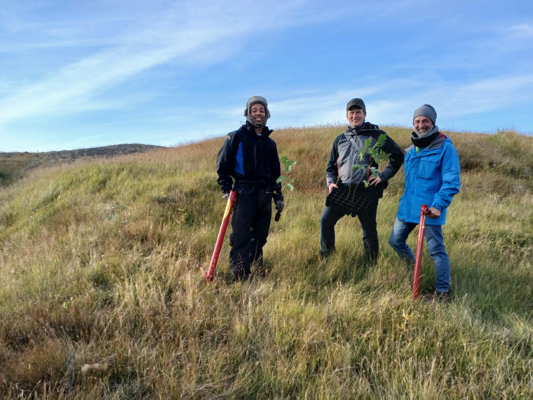
Our team at Fagrabrekka on planting day, 1 September 2026. 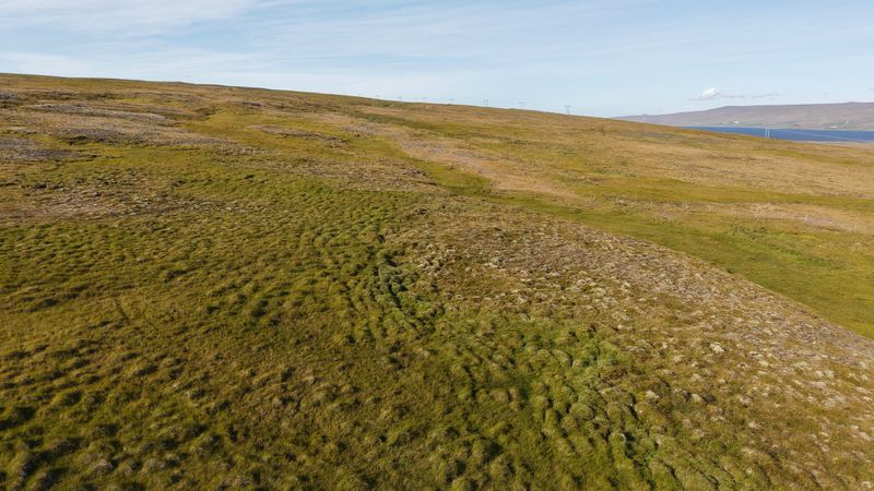
Heathland on the farm at Fagrabrekka, filmed by drone on planting day, 1 September 2026.
How we measure
- What survival means here. A tree counts as alive if it is standing and has living buds or leaves, with a stem that is green and moist just under the bark.
- How we count. We count on foot, plot by plot. From May 2027 we will also measure the height of about 20 marked trees once a year. Survival = trees found alive ÷ trees checked. When we check a sample rather than every tree, we say so and give the number checked.
- By plot, not by tree. We report by plot, not by individual tree. Certificates name the plot, not one tagged tree.
- Satellite images. Sentinel-2 satellite images have pixels of 10 m by 10 m at best, so young trees will not show from space for years. Drone footage and ground photos carry the early years. We film by drone and share satellite images once or twice a year, in spring and late summer.
- Trees, not carbon. This log reports trees, not carbon. We make no carbon claim for trees bought or given by individuals.
Downloads
The outline of the planted area, in WGS 84 longitude and latitude. It is approximate for the 2026 planting; from the next planting we will add the GPS track of each planting.
Plot data on this page: CC BY 4.0, credit Reforest Iceland. Photos and the aerial image are not covered by that licence.
Questions
How do I know the trees were planted?
This page shows where they went in, on a map you can download, with dated photos from planting day. Our first survival count is in May 2027, on a sample of the trees, and we publish the result here. We film the plot by drone and share satellite images once or twice a year, in spring and late summer. You can also come and see the trees yourself.
Can I visit the trees?
Yes. Anyone with trees at Fagrabrekka may visit, even a single tree, bought or given. Fagrabrekka is a working farm and the farm manager needs to be at home to meet you, so every visit is arranged in advance: see how to visit.
Which of these trees is mine?
None of them individually. We report by plot, not by tree: your certificate names the plot and the planting season, and this page reports on the plot as a whole. The trees in this first planting were paid for by us. Trees bought or given are planted in the next planting window, as our FAQ explains, and they are native downy birch, rowan or willow; where the soil requires it, we also plant larch or other hardy species.
Why can't I see the trees on satellite images?
Sentinel-2 images have pixels of 10 m by 10 m at best, much larger than a young sapling. It will be years before the trees show from space, so drone footage and ground photos carry the early years.