Reforest Iceland
Icelandic woodland restoration for companies that want a climate and nature contribution they can be proud of, and that holds up to scrutiny. Every hectare is GPS-mapped, recorded in photo and video from the air and on the ground, and open to audit – so what you report is exactly what was planted.
A forest you can stand in, not a certificate and a stock photo. Your team gets GPS-mapped hectares, documentation from the air and on the ground, and a named place in Iceland you can actually walk – the kind of proof your reporting team can use and your colleagues will want to see.
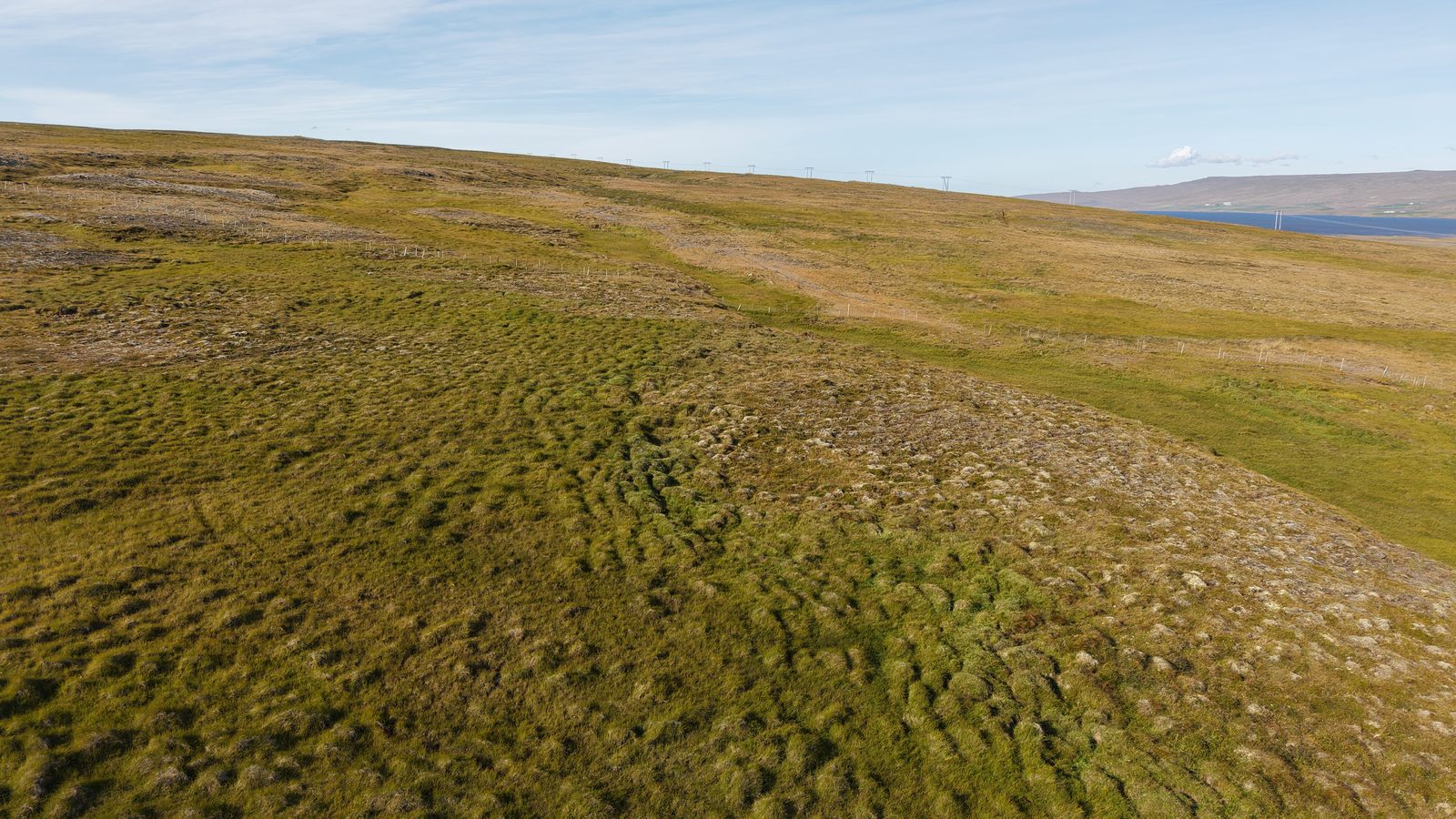
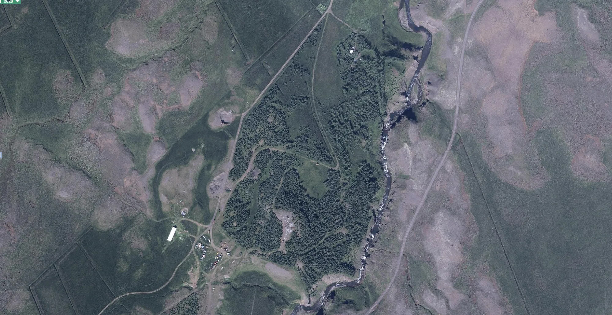
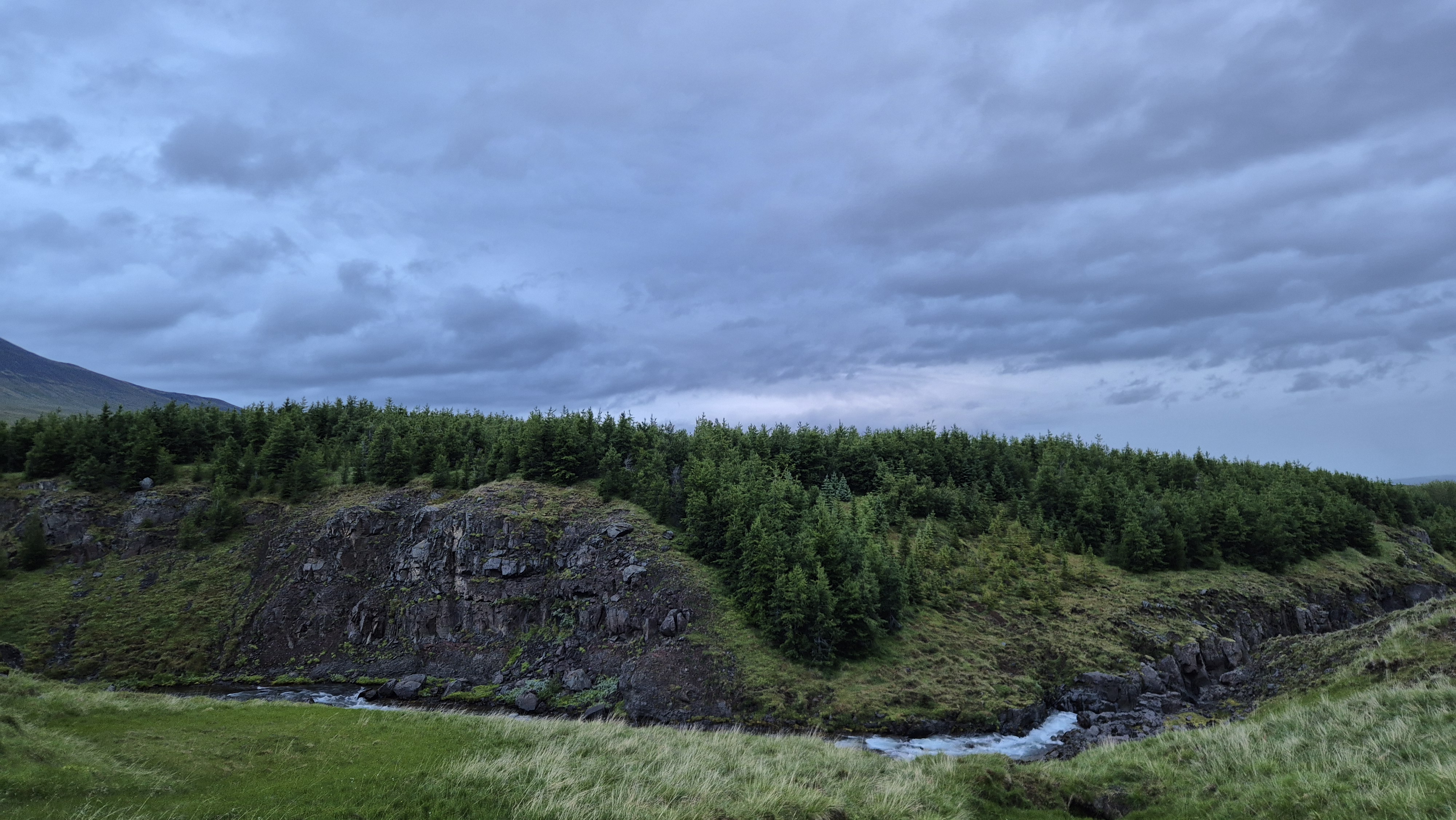
Documented from the air and on the ground, on named Icelandic land.
All projects are designed to meet strict certification and traceability standards.
We are restoring Icelandic woodland on dormant farmland, with species chosen to suit each site.
Every hectare is mapped and monitored, and we target independent verification.
Our reporting is designed for CSRD/ESRS compliance and audit readiness.
Reforestation on named Icelandic land, documented with our own drone and ground footage.
*The update period depends on the sponsoring amount.
Reforestation we target to have independently verified, with an assurance-ready nature and biodiversity data pack.
Everything in Verified Impact, plus carbon removals we target to have verified under Verra, delivered as a BVCM contribution.
Everything in Carbon Credits, in a named forest your teams and clients can walk through.
A lighter way to start: gift native Icelandic trees to employees or clients, or run an ongoing company subscription.